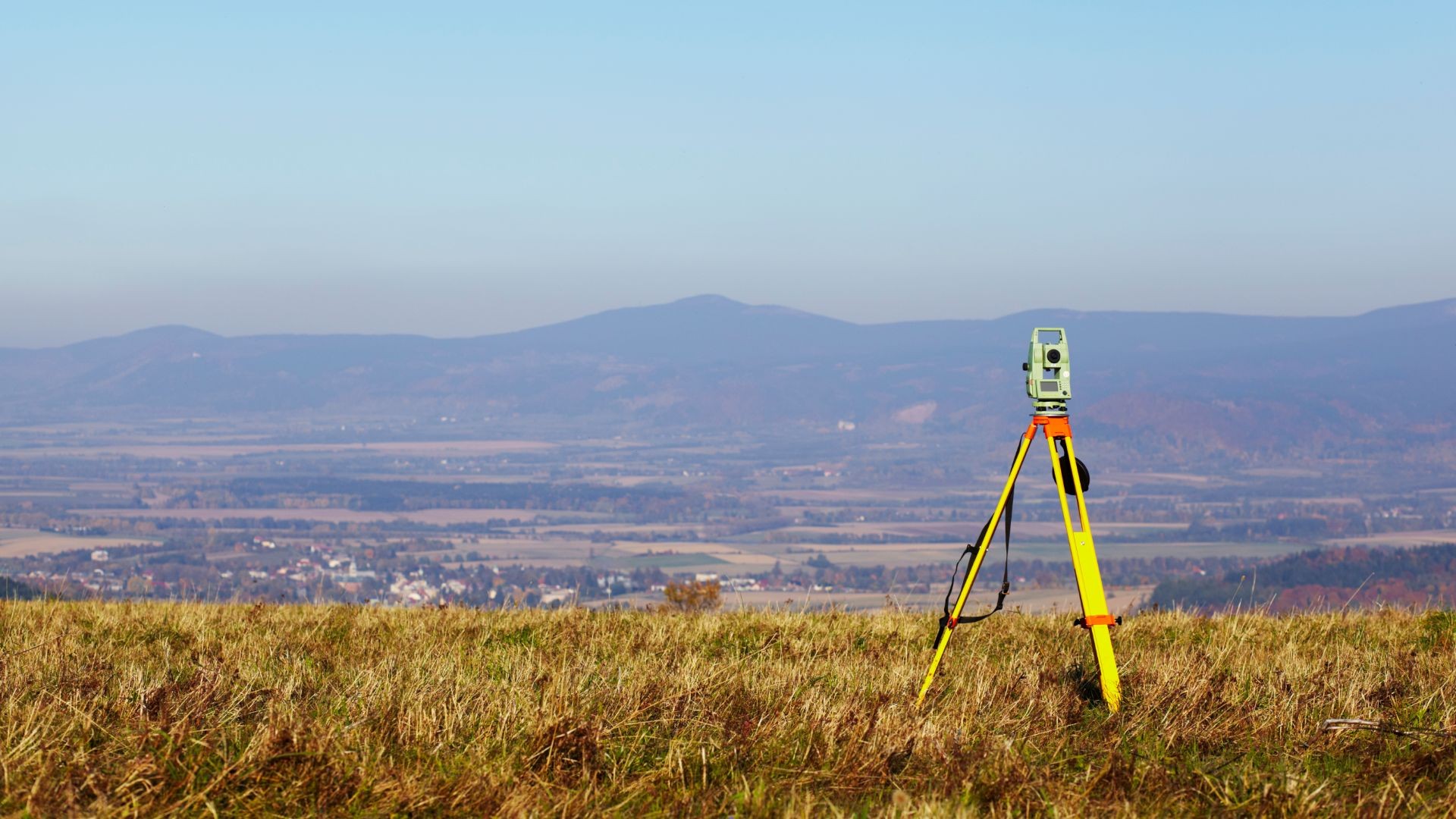
Geodesy is the science of mapping a surface as a set of coordinate points, and setting physical markers as specified in a blueprint.
Contemporary practice in construction is increasingly precise in its definition and detailed design of data in three dimensions. For the work of surveying and tracking we use the leading optical surveying equipment with GPS technology by Trimble, achieving accuracy up to 1mm which exceeds most international standards.
For the measurements analysis we make use of modern design software (CAD) and geographic information systems (GIS), as well as special software packages that can represent terrain in three dimensions. By using GIS extensively to visualize spatial and environmental parameters of the project, we can offer optimization of the design.
We offer ongoing topography support during the construction of your project, and ensure the precise implementation of drawings on the field. Whenever parameters change, a need arises to adapt the drawings; our site-to-office real-time link helps process and return updated drawing in minimal time.
Commitment #1 Our Pricing
We are committed to offering our services at a better price than the median of our competitors’ offers.
